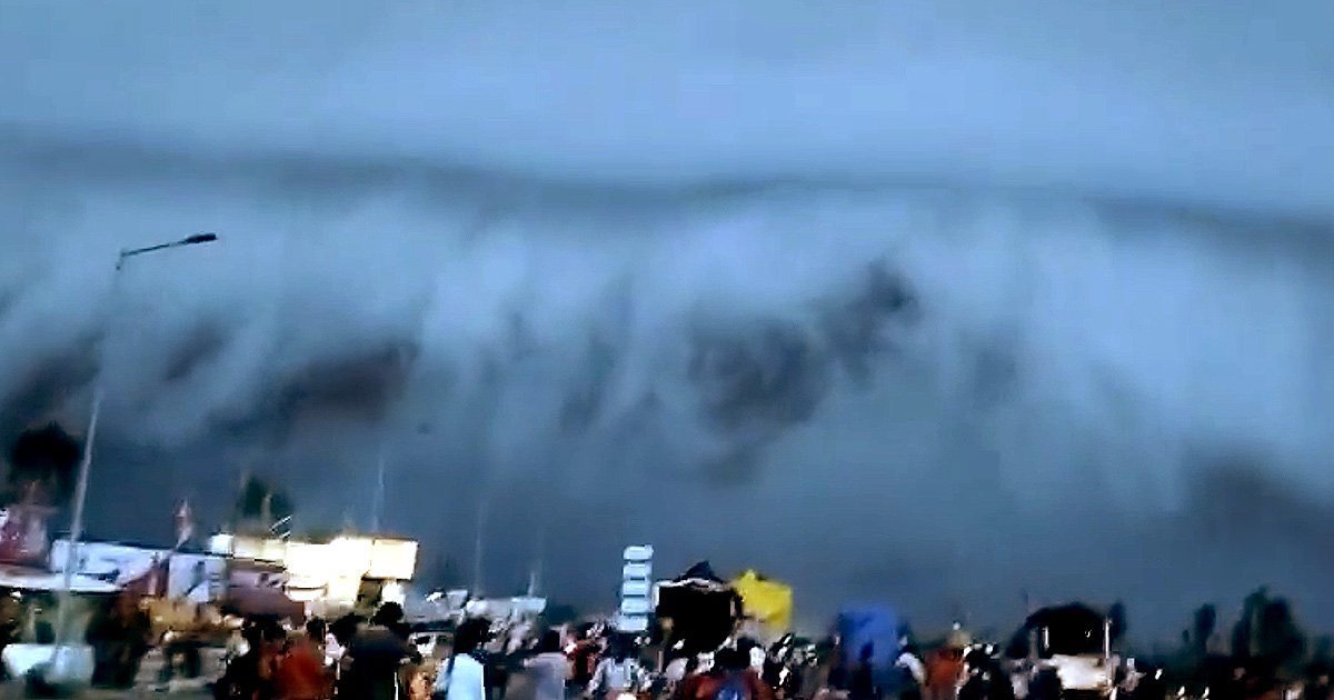
A vast “doomsday cloud” that descended over a city in India has left locals bewildered and shocked.
This unusual phenomenon appeared in the sky after a heavy downpour caused landslides and severe flooding.
One of the eyewitnesses of this phenomenon captured on video a vast cloud that swept over Haridwar in Uttarakhand.
In the footage, one person says he saw it for the first time.
Other people who observed the phenomenon were sure that a massive storm was coming.
The huge Arcus cloud appeared during the monsoon season, which lasted from June to the end of October in these regions.
It is caused by warm moist air pushed upwards by the cold air created during a thunderstorm.
The warm air rises then cools, condenses, and leads to the formation of heavy downpours.
Over time, wind direction affects cloud formation.
Shelf clouds and roll clouds form the two main types of arkosic clouds.
This shocking sight may seem like a still from a horror movie, but it is much more common than one might think.
More recently, similar photos appeared in China, where dust clouds formed a wall of sand three hundred feet high near Hami.

 Discuss
More news


